if you cannot find answer to your question our FAQ, you can alwas contact us. web will answer you shortly!

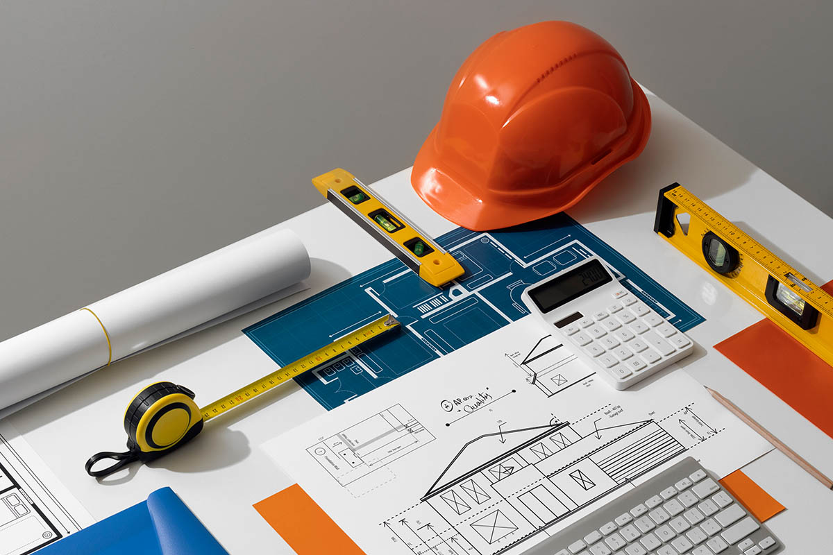


At NCS, our drone-based surveying solutions provide fast, accurate, and high-resolution data for a wide range of infrastructure and land development projects. Using advanced UAV technology combined with LiDAR scanning, we capture detailed aerial imagery, surface contours, and highly accurate 3D terrain models that help engineers, planners, and developers make informed decisions with greater speed and precision.
Drone surveys reduce manual effort, minimize site risk, and cover large areas in a fraction of the time. From topographic mapping and volume calculations to monitoring project progress, our drone and LiDAR surveys deliver reliable insights that improve planning, accuracy, and overall project efficiency

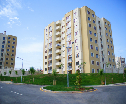
Modern development demands smarter, faster, and more sustainable ways to plan and build. With drone and LiDAR technology, we can capture highly accurate terrain data, site conditions, and structural details without disturbing the environment. This allows engineers and planners to design safer infrastructure while reducing fuel use, manpower, and unnecessary site visits.
By using advanced aerial mapping, digital twins, and precise 3D models, we help minimize material waste, avoid costly rework, and improve long-term project performance. These insights support eco-friendly decision-making, ensure better land management, and contribute to resilient, future-ready infrastructure.
Drone mapping and LiDAR capture detailed site data. It reduces manual work and delivers accurate terrain models so teams can plan safely and confidently.
We monitor site progress from the air. Regular drone updates help identify issues early, improve coordination, and keep projects on schedule.
Drones reduce manual inspections. Hard-to-reach areas are surveyed safely, lowering site risks while still gathering complete, reliable information.
We partner with clients through every stage of the project — from clear planning and precise data collection to final review and delivery. Whether we’re using advanced drone & LiDAR surveys or traditional methods, we focus on accuracy, transparency, and results that help you make smarter, faster decisions.
Share your site location and requirements. We review the area and prepare the safest survey plan.
Our drones capture precise images and LiDAR data. Fast, accurate, and completely safe from the ground.
We convert drone data into maps and 3D models. Clear insights that support planning and monitoring.
Don’t wait any longer to bring your project forward with confidence. Partner with NCS and experience unparalleled service and quality.

Don’t wait any longer to bring your project forward with confidence. Partner with NCS and experience unparalleled service and quality.