if you cannot find answer to your question our FAQ, you can alwas contact us. web will answer you shortly!


At NCS, we provide end-to-end surveying solutions that support urban growth, smart city planning, and sustainable infrastructure development. Our team delivers accurate layouts, mapping, and feasibility studies that help governments, developers, and planners design future-ready cities.
By leveraging advanced tools such as drone surveys, GPS technology, and detailed topographic mapping, we provide reliable data to guide housing developments, commercial hubs, industrial zones, and smart city projects. Every survey is executed with precision, ensuring decisions are backed by accurate insights for efficient and sustainable development.

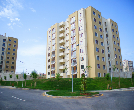
Urban growth is no longer just about expansion — it’s about creating cities that are efficient, resilient, and sustainable. At NCS, we support this vision by delivering surveys and insights that guide smart infrastructure, green spaces, housing layouts, and transport networks.
By integrating modern technology with sustainable practices, our surveys empower planners and developers to design urban environments that balance growth with environmental responsibility, ensuring cities are prepared for the future.
Data-driven insights that guide zoning, infrastructure, and layouts for efficient and future-ready cities.
Surveys that support seamless planning of roads, utilities, and transport networks in growing urban spaces.
Balancing development with sustainability by enabling eco-conscious and long-lasting urban solutions.
We specialize in a wide range of construction services, including residential, commercial, and industrial projects. From initial design to final inspection, we work closely with our clients to understand their unique needs and vision.
Share your project details and objectives with our team. We analyze your requirements and propose the most effective surveying and planning approach tailored to your goals.
Our experts conduct precise surveys using advanced GPS and drone technology to gather accurate data for layouts, mapping, and feasibility studies.
We compile and deliver clear, actionable reports that support informed decision-making for urban layouts, infrastructure, and sustainable city design.
Don’t wait any longer to bring your project forward with confidence. Partner with NCS and experience unparalleled service and quality.

Don’t wait any longer to bring your project forward with confidence. Partner with NCS and experience unparalleled service and quality.