if you cannot find answer to your question our FAQ, you can alwas contact us. web will answer you shortly!


Topographic land surveys help capture the true shape, elevation, and physical features of your site with high precision. Our team captures accurate ground levels, contours, boundaries, utilities, and existing structures using advanced GPS, Total Station, Drone and LiDAR technology. This detailed information supports design planning, drainage analysis, road layouts, plot divisions, and construction feasibility. We deliver clear drawings, reliable datasets, and assured accuracy so engineers, architects, planners, and developers can move forward with complete confidence from concept to execution.

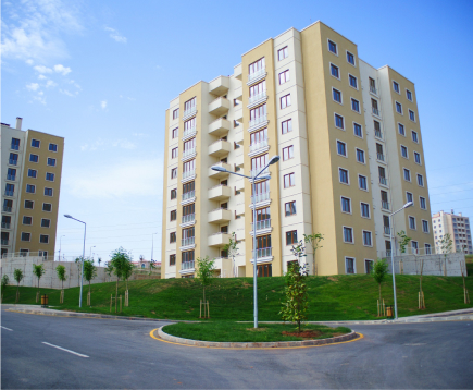
Modern land development begins with precise knowledge of the terrain. Accurate topographic data helps planners understand natural slopes, drainage paths, soil conditions, vegetation, and man-made features before any work begins. With advanced surveying tools, we capture ground levels, contours, utilities, boundaries, and site constraints to support smarter decisions and reduce costly surprises later.
Reliable data allows architects, engineers, and developers to design responsibly while protecting natural landscapes and minimizing environmental impact. Detailed topographic mapping ensures safer foundations, efficient drainage, better road layouts, and optimized land use — creating spaces that are sustainable, practical, and built to last.
We capture contours, levels, utilities, and boundaries to give you clear, reliable site information for smarter planning and design decisions.
We study terrain, slopes, drainage, and structures so engineers understand site conditions early and avoid costly surprises later.
We support every stage of development with accurate layout marking and elevation checks to keep projects aligned and on track.
We specialize in delivering accurate and detailed land topographic surveys for residential, commercial, infrastructure, and development projects. From boundary mapping to contouring and site elevations, we work closely with engineers, architects, and planners to ensure every decision is based on precise ground data. Our team follows a clear workflow — from initial consultation and field survey to data processing and final deliverables — ensuring clarity, reliability, and smooth coordination throughout the project.
Tell us what type of port survey you need — berth depth checks, channel mapping, hydrographic scans, or structural assessment. Our team reviews your site details and prepares the right approach.
We study charts, tidal conditions, dredging history, and access constraints. Based on scope and equipment required, we provide a clear technical plan and cost estimate.
Our experts collect precise bathymetry, contours, obstructions, and safety risks using advanced survey tools. You receive accurate drawings, digital models, and actionable insights.
Don’t wait any longer to bring your project forward with confidence. Partner with NCS and experience unparalleled service and quality.

Don’t wait any longer to bring your project forward with confidence. Partner with NCS and experience unparalleled service and quality.