if you cannot find answer to your question our FAQ, you can alwas contact us. web will answer you shortly!


Our GPS survey services deliver precise geospatial data for land development, infrastructure planning, and industrial projects. Using advanced satellite-based positioning technology, we capture accurate coordinates, elevations, and site features to support design, execution, and asset management. The information collected ensures better alignment, reduced errors, and reliable decision-making throughout every stage of the project.

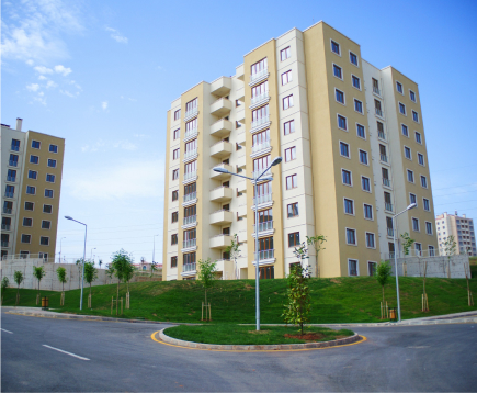
Modern development projects demand accurate ground information — and GPS surveying delivers it with unmatched precision. Using advanced satellite-based positioning systems, we capture reliable coordinates, elevations, and terrain data that support planning, design, and construction with confidence.
Our team ensures every point surveyed is verified, mapped, and documented, reducing errors, rework, and delays. Whether it’s land development, infrastructure, utilities, or industrial layouts, our GPS surveys provide dependable data that remains accurate throughout the life of your project.
Even small measurement errors can cause major issues later. With GPS-based positioning, every control point is captured precisely so layouts, boundaries, and elevations stay accurate from planning to completion.
GPS technology allows large areas to be surveyed in less time. Real-time data capture reduces revisit trips, improves productivity, and ensures projects move forward without unnecessary delays.
Accurate survey data supports engineers, planners, and contractors at every stage. Our GPS outputs integrate seamlessly with design tools, reducing rework and improving project coordination.
We provide precise GPS-based surveying for land development, infrastructure, and industrial projects. From initial site understanding to final validation, we collaborate closely with clients to ensure accurate positioning, seamless coordination, and reliable project outcomes.
Share your project location and requirements with our team. We review your site details, purpose of the survey, and expected deliverables so we can plan the right GPS methodology from the beginning.
Our team visits the site with advanced GPS instruments. Control points, boundaries, utilities, and elevation data are recorded with high accuracy to ensure every measurement supports the design and execution stages.
All collected data is processed, verified, and converted into required formats. We deliver clear reports, digital files, and maps — ready to integrate into design, planning, and construction workflows.
Don’t wait any longer to bring your project forward with confidence. Partner with NCS and experience unparalleled service and quality.

Don’t wait any longer to bring your project forward with confidence. Partner with NCS and experience unparalleled service and quality.